
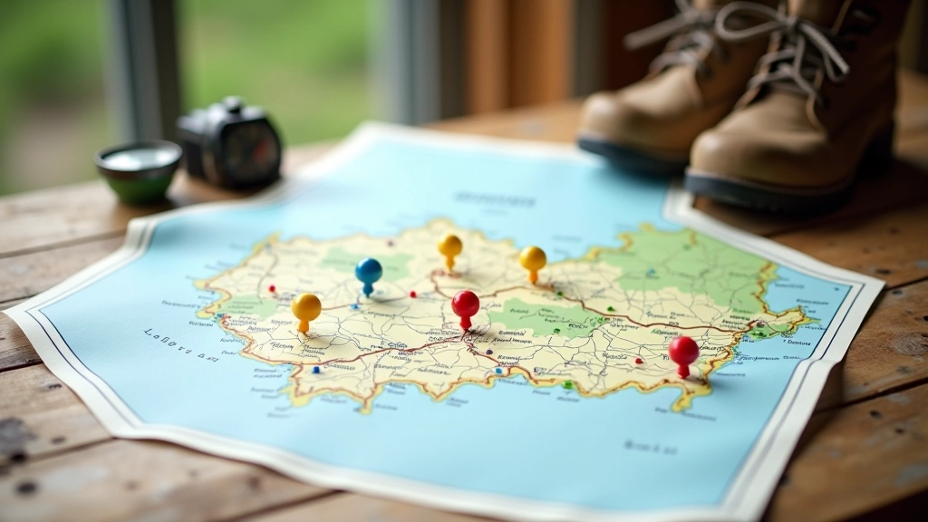
Popular Geocache Routes and Hidden Spot Discovery
Explore established trails across Bohemia and Moravia. Learn proven techniques for finding new caches and evaluating terrain.

Understanding Popular Geocaching Routes
You'll find that geocaching in the Czech Republic isn't just about stumbling into the woods. We've got established routes — some following historic trails through the Moravian Karst, others winding through the Bohemian Forest near the German border. The real appeal? These routes offer something different depending on what you're looking for.
The most popular routes tend to cluster around natural attractions. That means you're not just hunting for caches — you're experiencing the landscape at the same time. We're talking about trails that connect 8-15 caches over distances of 5-12 kilometers, taking anywhere from 2-4 hours depending on your pace and how thorough you are.
The Top Routes Worth Your Time
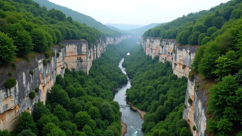
The Moravian Karst route near Blansko is probably the most famous for a reason. You're walking through limestone canyons with 100-meter cliffs on both sides. The route has 12 caches spread across 8 kilometers, and difficulty ratings vary from 1.5 to 3.5. Most people tackle it in stages rather than all at once.
Then there's the Cesky Raj circuit — "Bohemian Paradise" as it translates — where you've got sandstone formations that look almost alien. The route loops around Turnov and includes about 14 caches. Terrain here is more technical. You're climbing rock scrambles, crossing streams, and navigating narrow passes. Don't underestimate it even though some caches are rated easy.
Pro tip: The Vltava River trail between Prague and Cesky Krumlov has seen increased cache activity. It's flatter, family-friendly, and offers consistent finds over a longer distance. Perfect if you want volume over technical challenge.
Educational Note: This article provides informational guidance about geocaching routes and discovery techniques based on established practices and terrain knowledge. Geocaching activities vary by location and current conditions. Always verify current route status, check local regulations, and ensure you have proper equipment and skills before attempting any trail. Weather, terrain conditions, and cache availability change regularly — what's described here reflects conditions from recent months but may have changed.
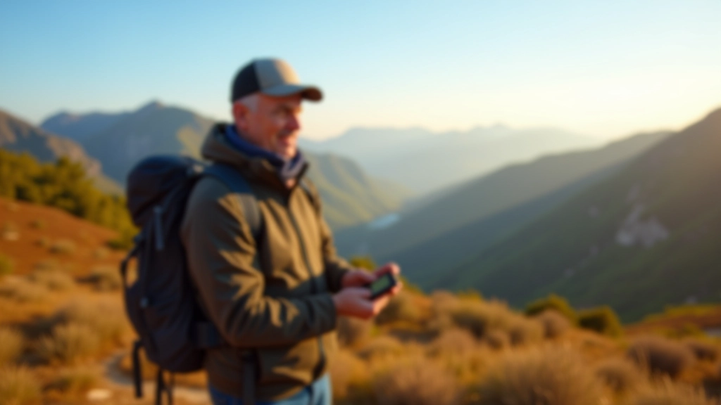
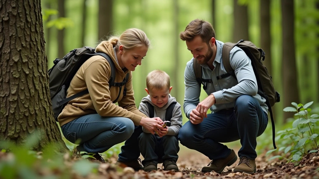
Finding New Caches: Techniques That Actually Work
Here's what we've learned: established routes are great for beginners, but discovering unmapped caches is where the real challenge lives. The Czech geocaching community has mapped most obvious locations, so finding new ones requires looking at the landscape differently.
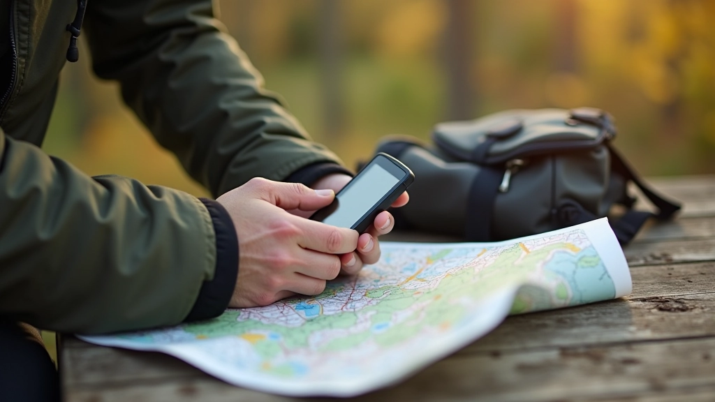
Start by studying topographic maps. You're looking for natural features — rocky outcrops, dead trees, fallen logs, places where someone might logically hide something. Czech terrain offers plenty: old stone walls, abandoned quarries, forest edges where open fields meet woods. These transition zones are goldmines.
The second technique involves timing. Early morning or late afternoon, when shadows are long, you'll spot things you'd miss at midday. A small reflective surface catching sun, a slight discoloration in bark, a geometric shape that doesn't belong in nature — these become visible when light angles are low.
Explore Related Topics

Evaluating Terrain and Cache Conditions
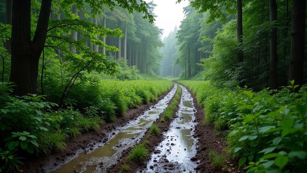
Not every cache is appropriate for every season or skill level. You'll notice Czech caches are rated on two scales: difficulty (how hard it is to find) and terrain (physical demands of getting there). A 5-star terrain rating might mean scrambling up loose scree, crossing streams, or navigating through thick forest without a clear path.
Spring brings mud. We're talking ankle-deep mud on forest trails in March and April. Summer heat can be intense in sheltered valleys — the Moravian Karst gets surprisingly hot. Fall's actually ideal: firm ground, clear visibility through leafless trees, comfortable temperatures. Winter? Routes in higher elevations become technical. Snow coverage changes everything about terrain assessment.
Check recent logs before heading out. If the last 5 people mention a muddy approach or flooded crossing, you've got current information. The geocaching community is pretty thorough about documenting conditions. We're not saying don't go — just go prepared. Waterproof boots and gaiters are standard equipment here, not optional.
Start Exploring Routes Today
The Czech Republic's geocaching scene isn't just about finding boxes in the woods. It's a way to experience the landscape more deeply. You'll notice things you'd otherwise walk past — natural formations, historical sites, viewpoints that only reveal themselves when you're actively searching.
Start with established routes if you're new. They're well-documented, community-vetted, and you'll understand what to expect. Once you've got that foundation, branch out into discovering your own caches. Pay attention to terrain features, study maps, and don't rush. The best discoveries come when you're patient and observant.